2010 SFC

Florida Atlantic University

Stratigraphy Project

May 22 - 24, 2011

To view larger photo, click the photo. Photos by Dr. Anton Oleinik (AO) and Rebecca Port (RP).

Sites are arranged from north to south.

Havilland Lake


Students examining the Irwin Formation near Havilland Lake (Photo RP)                  Steve examining gneiss near Havilland Lake (Photo RP)

Leadville Molas Locality


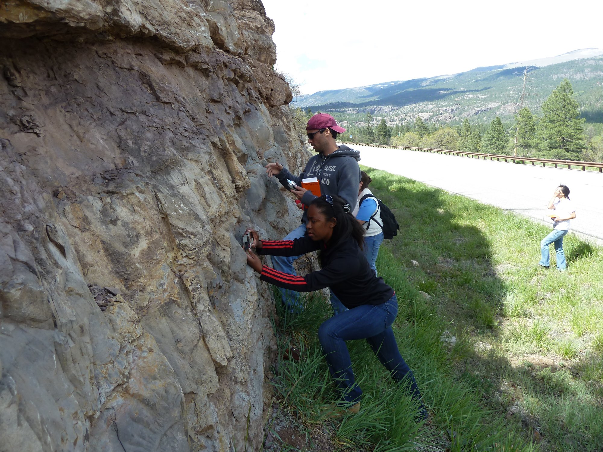
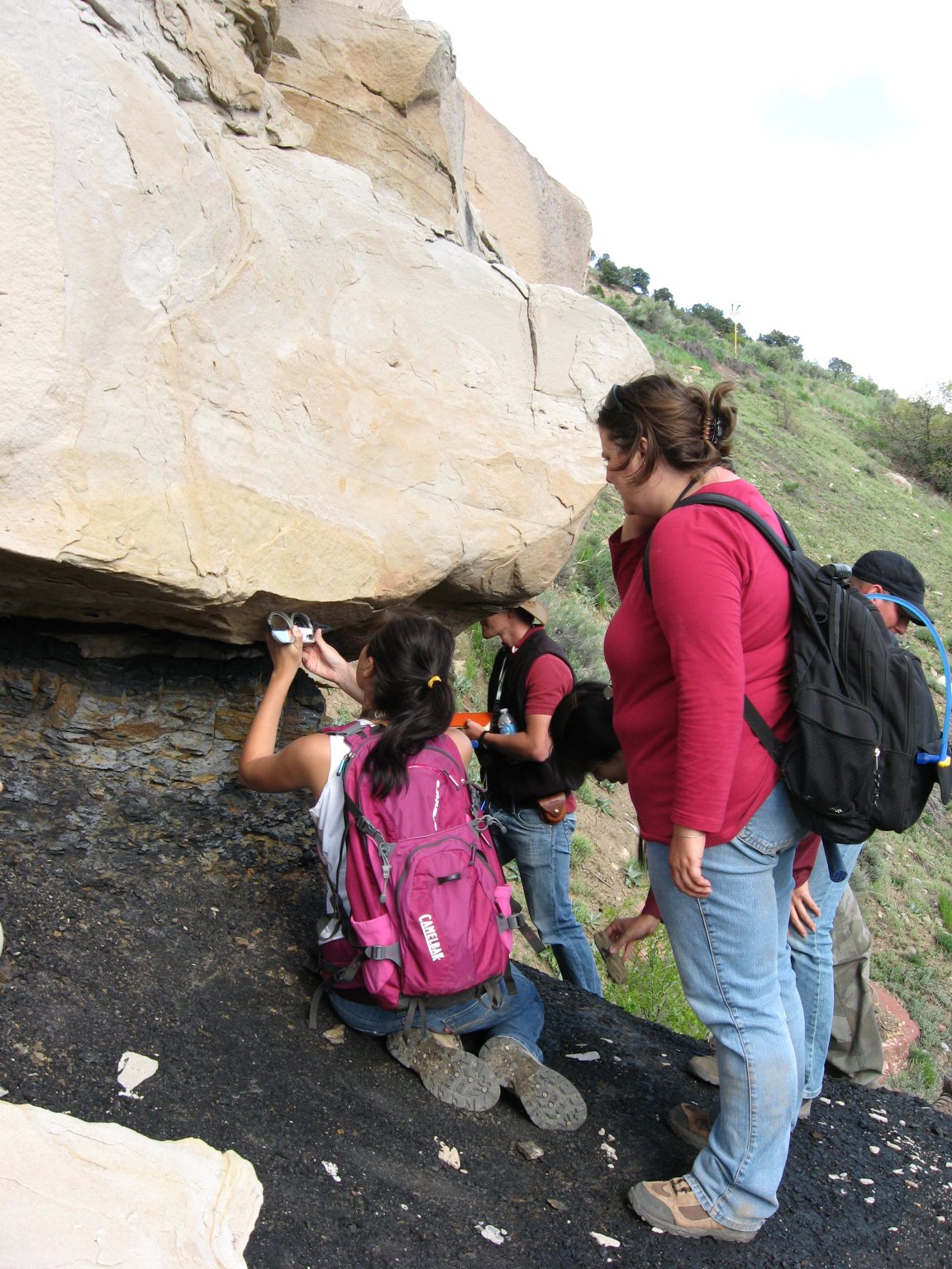
Shariva measuing strike and dip (Photo RP)


Elbert-Ouray_photo


Students examining rocks along US 550 north of Durango (Photo RP)


Durango - on the

Precambrian - Paleozoic Unconformity at Baker's Bridge


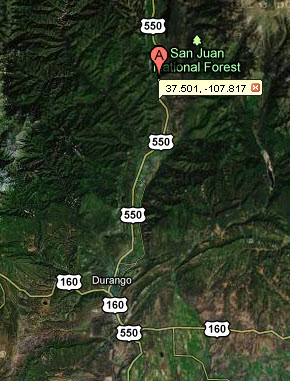
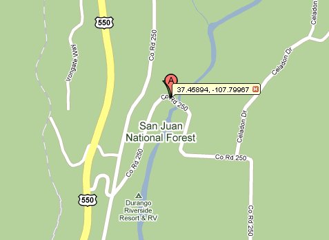
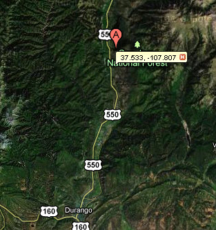
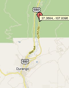
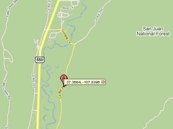
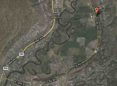
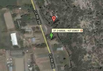
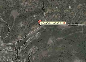
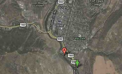
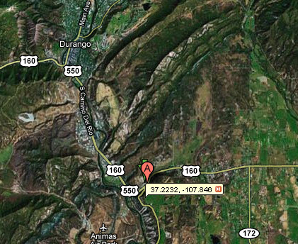
             Baker's Bridge Vicinity Map                                                    Baker's Bridge Locality Map

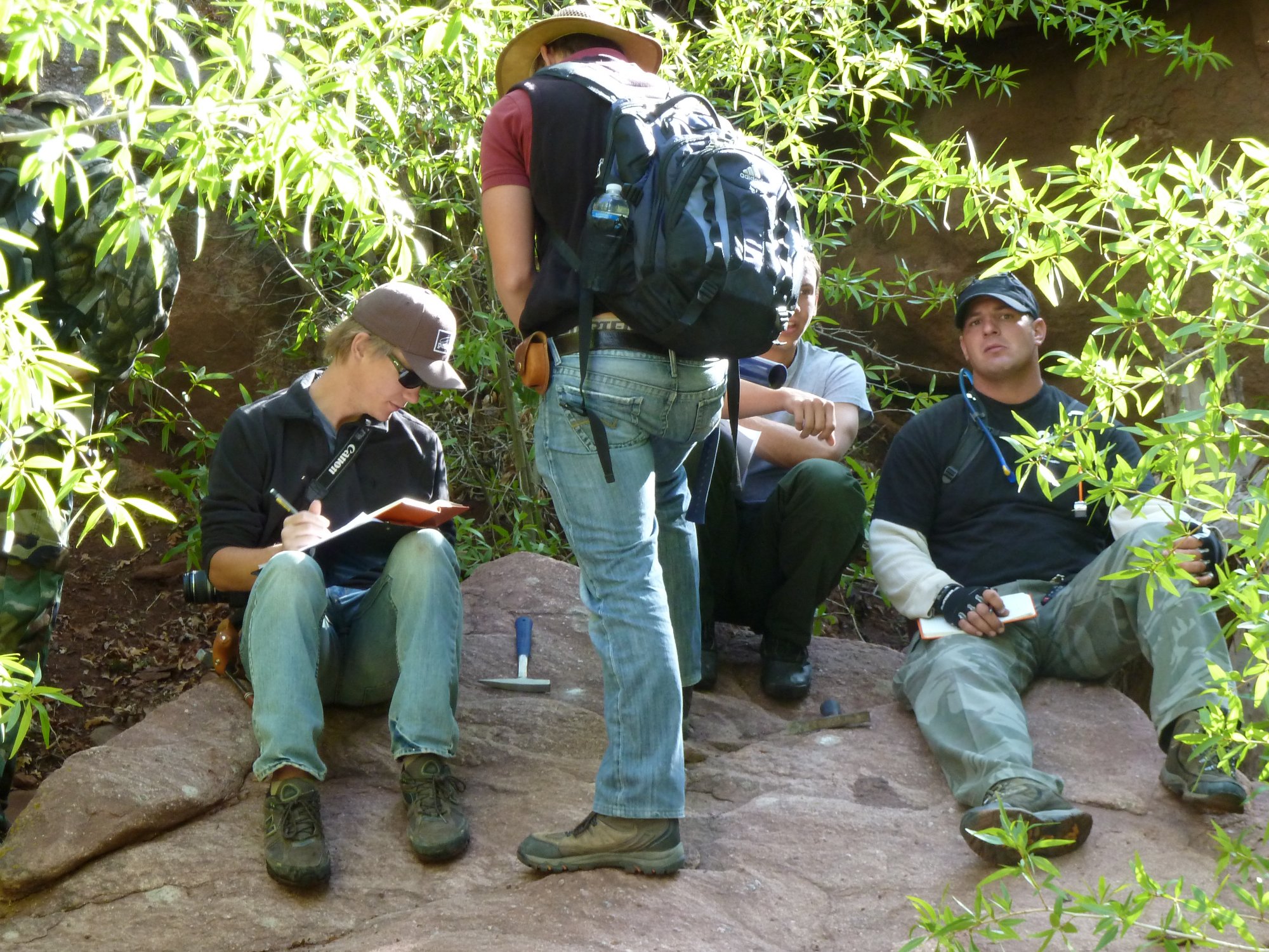
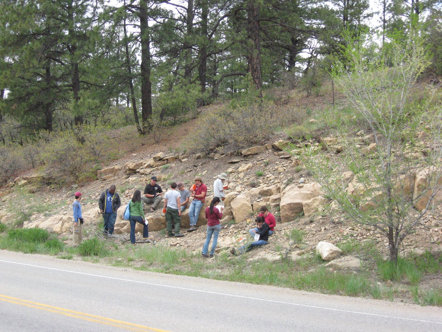
Students working at Baker's Bridge Outcrop (Photo RP)

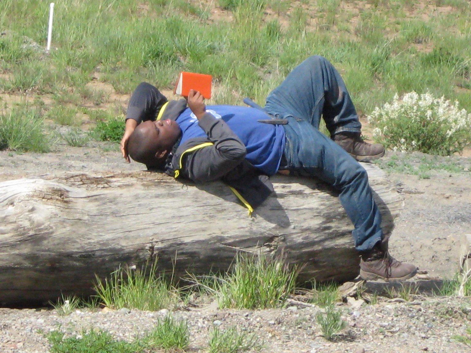
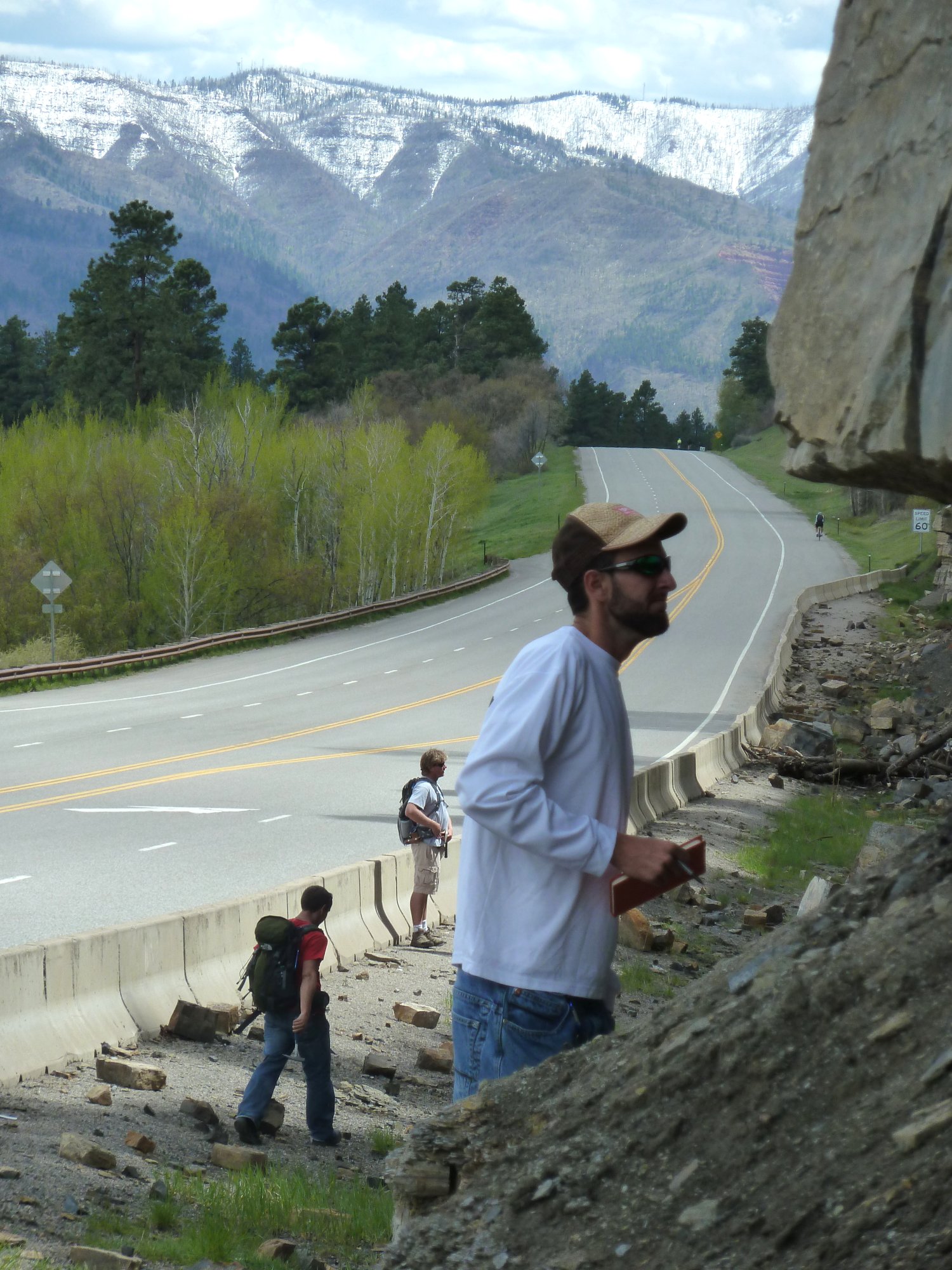
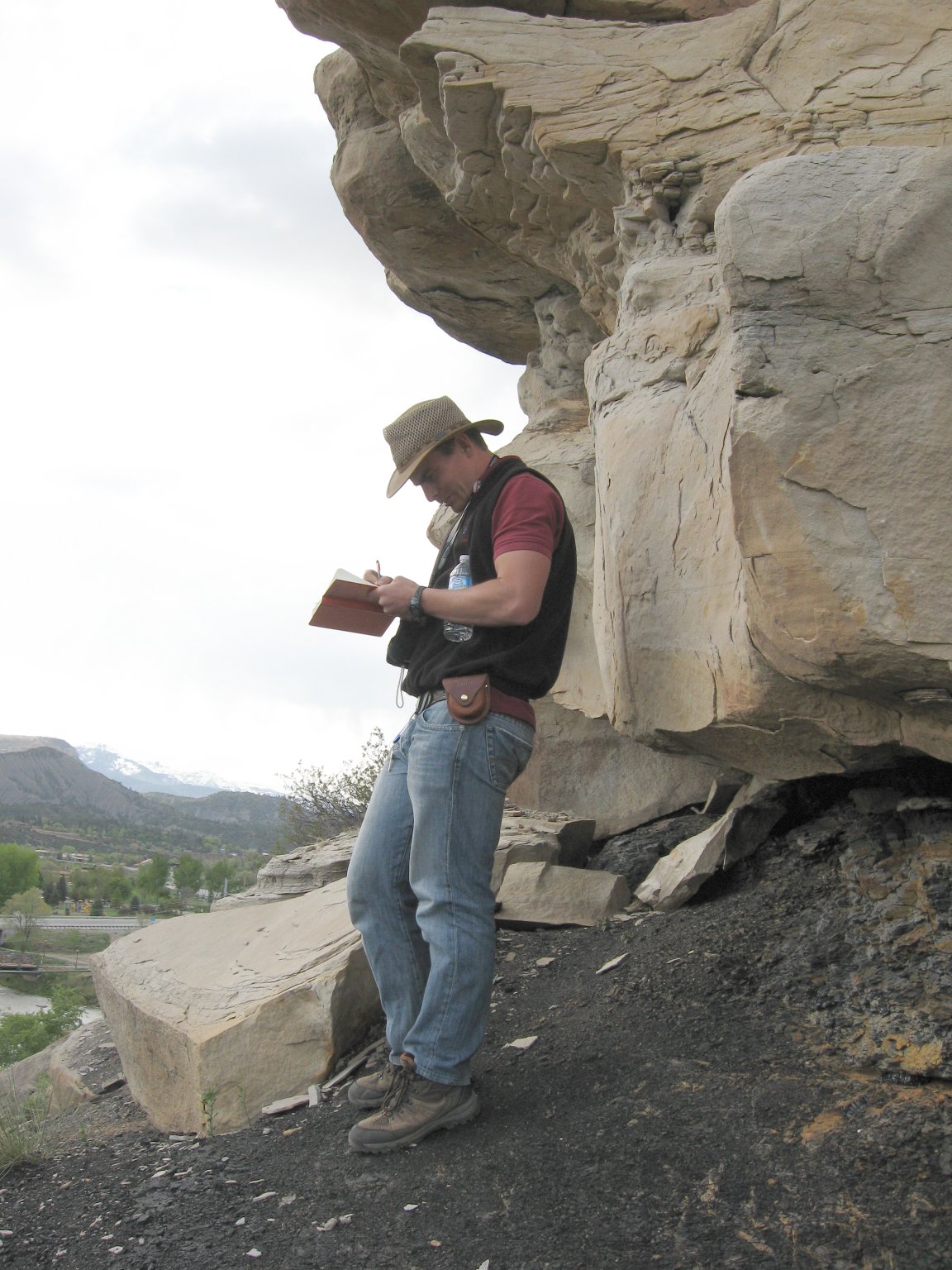
                                Devon reading field notebook (Photo AO) 
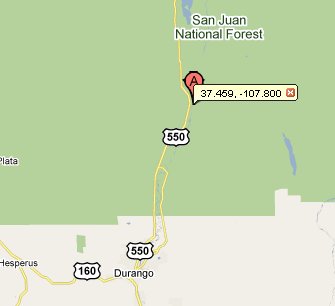
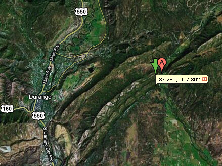
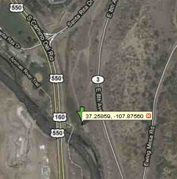

Durango - Permian Redbeds, Dolores Fm

Locality Map


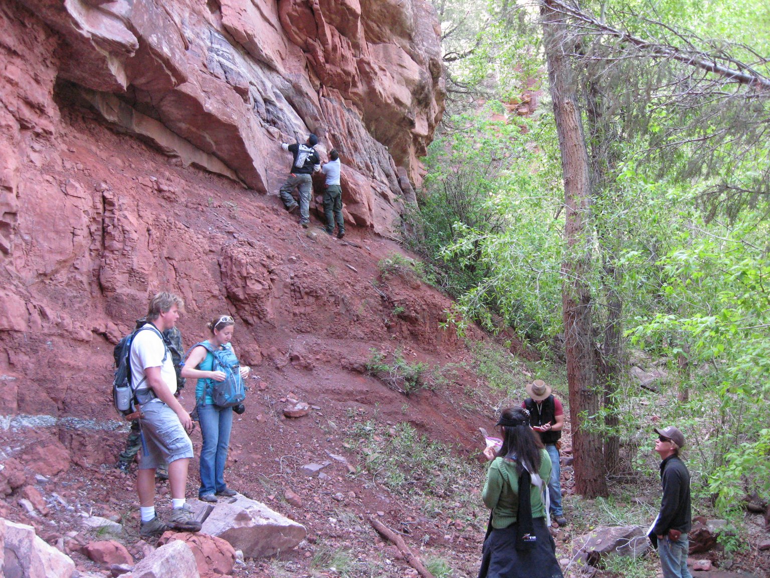
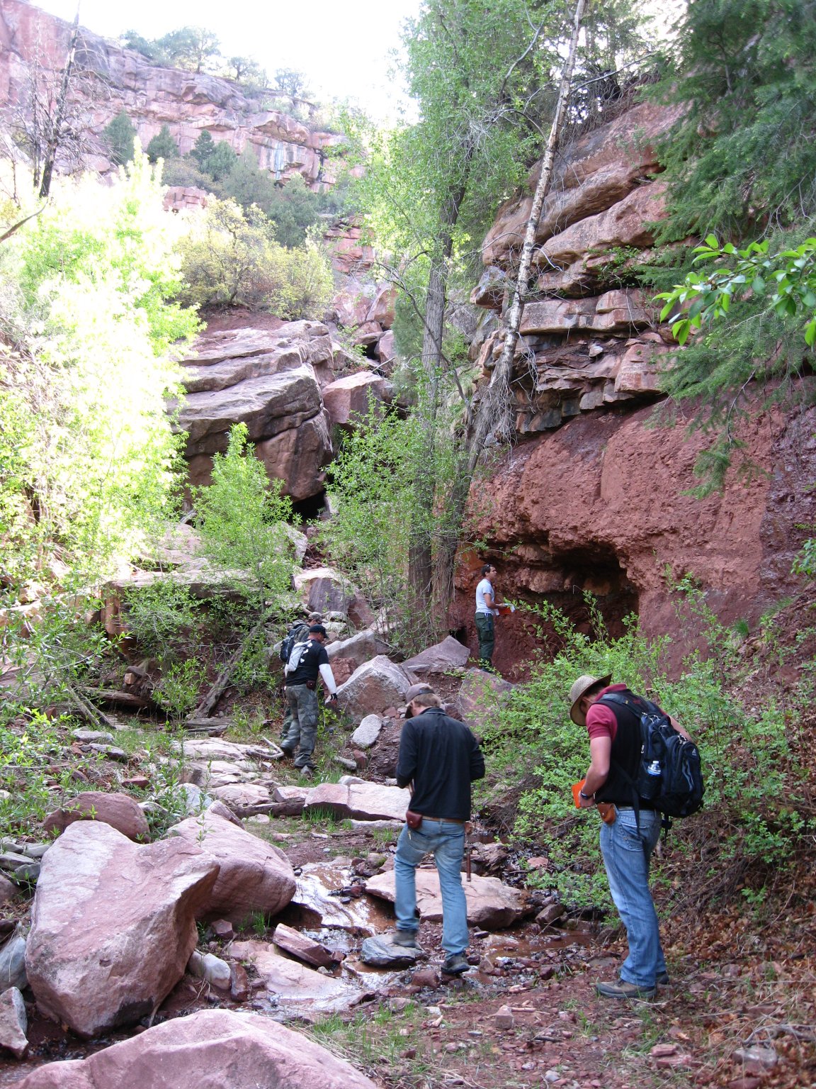
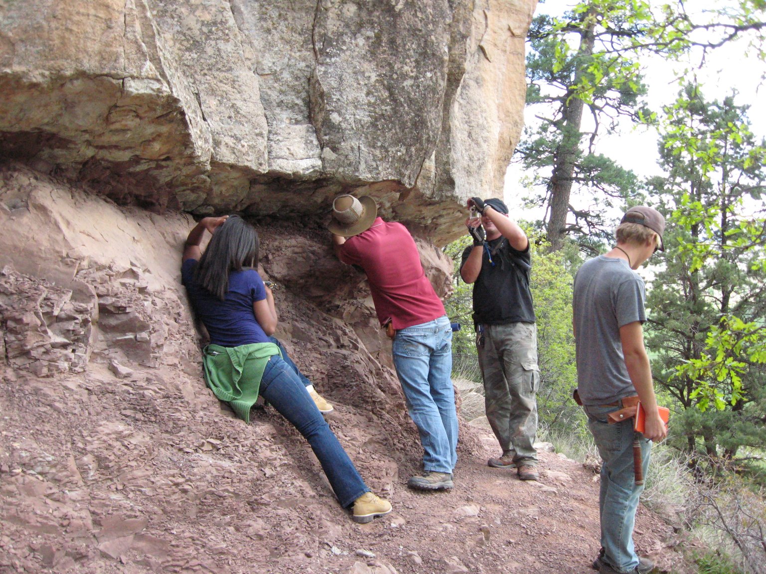
Students examining Permian redbeds (Photos AO) 


Haflin Canyon Mapping


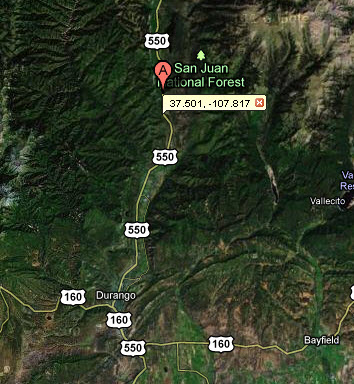
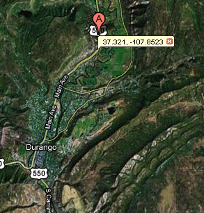
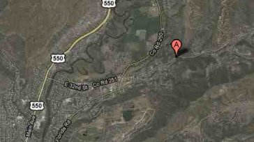
                                                 Haflin Canyon Vicinity                                    Haflin Canyon Locality


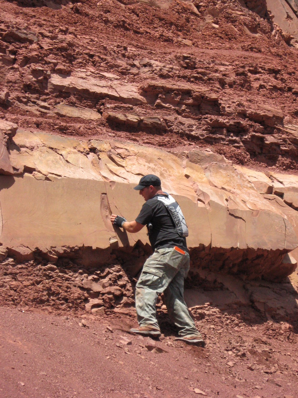
Cutler formation at Haflin Canyon   (Photo AO)                                                                 Hiking Haflin Canyon (Photo AO)


Contact between Junction Creek and Wankah Fms. and Mapping the Rocks in the Valley


Location vicinity                                                                                         Location locality

Students mapping the contact between the Junction Creek and Wankah formations (Photo AO)


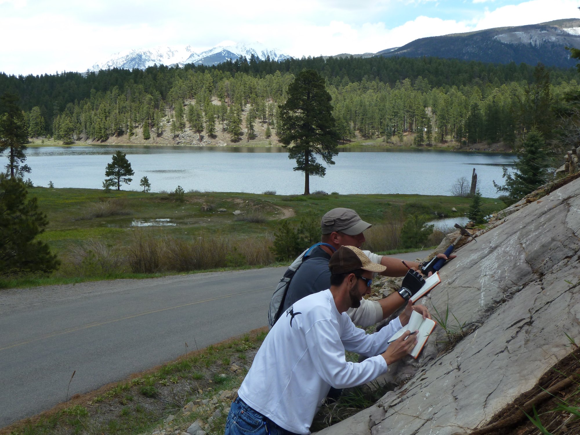
Jason, Gerhard, and Alex taking field notes (Photo AO)                              Shariva getting a strike and dip (Photo AO)


Cretaceous Dakota Sandstone Outcrop


                                Dakota Sandstone vicinity                                                         Dakota Sandstone locality


Group at the Dakota SS outcrop 


          Palmer Property Location   


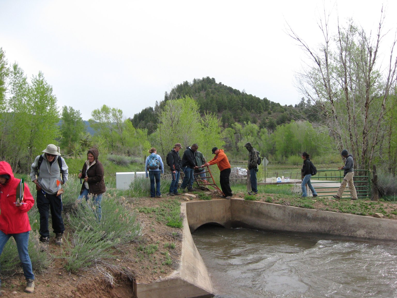
Accessing locality by crossing over a tight place above canal (Photo AO)


Outcrop of the Mesa Verde Group


                                       Mesa Verde Group outcrop vicinity                                                     Mesa Verde Group Outcrop Locality


Students mapping Menefee-Cliff House formation contact   (Photo AO)                           Gerhard taking field notes (Photo AO)


Animas Formation along the Florida River


Students examining outcrop of the Animas Formation (Photo AO)


 Quill Pen Questions or comments? Contact Dr. David Warburton mailto:warburto@fau.edu

Last updated: May 31, 2011