Senior Field Camp 2012
Map Sources for Localities Visited
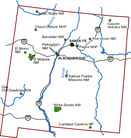
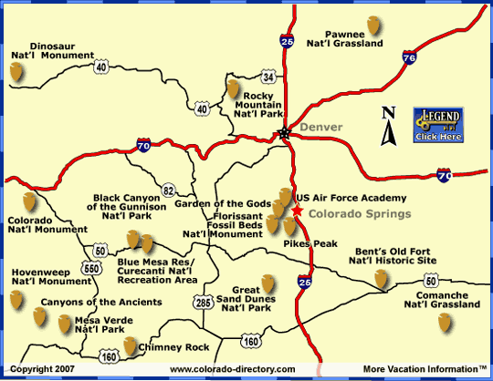
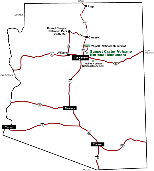
Maps of sites, many either National Parks (NP)or Monuments (NM), that will be visited during the field camp. Sites are listed alphabetically. Where available, park brochures for the national parks and monuments are included. Links to localities are to the official web site for that locality.
Information sources for localities visited are shown on a separate web page.
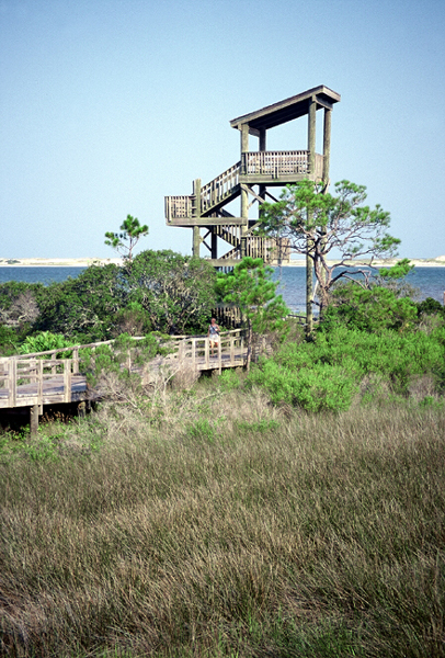
Big Lagoon SP, FL (30.320114, -87.403858)
Big Lagoon's four story Observation Tower at East Beach.
Bottomless Lakes SP, NM (33.327180, -104.334434)
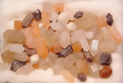
Pecos "Diamonds"
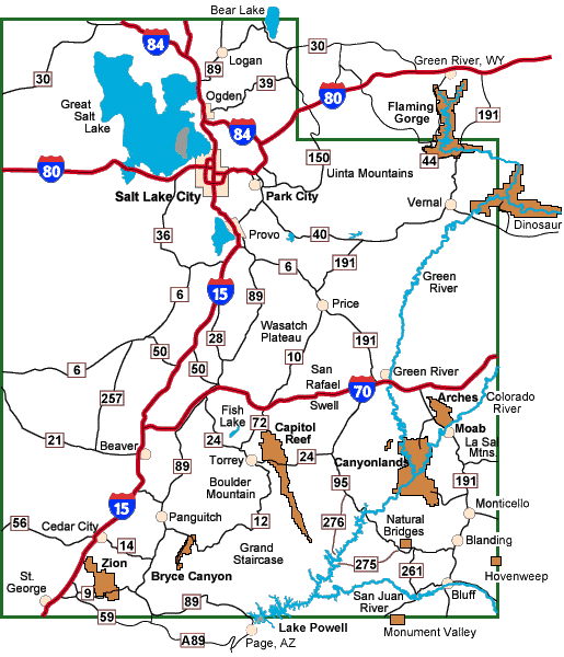
Durango, Colorado (37.270730, -107.884410)
Durango, Main Ave © 2006 Sascha Brück
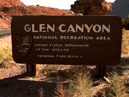
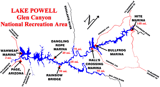
Glen Canyon Dam and NRA (36.93712°, -111.484355°)
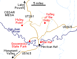
Goosenecks SP, UT (37.174722°, -109.926944°)
Ouray, Colorado - (38.023217, −107.672178)
Historic Court House (1888) at the South East corner of 4th Street and 6th Avenue by Andreas F. Borchert
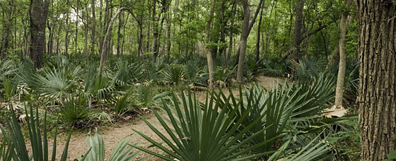
Palmetto SP, TX (29.596568,-97.584965)
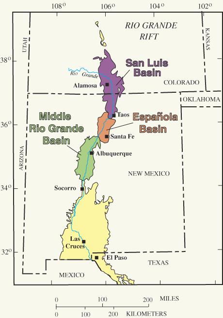
Rio Grande Rift
Shiprock Volcanic Neck (36.687778°, -108.836667°)
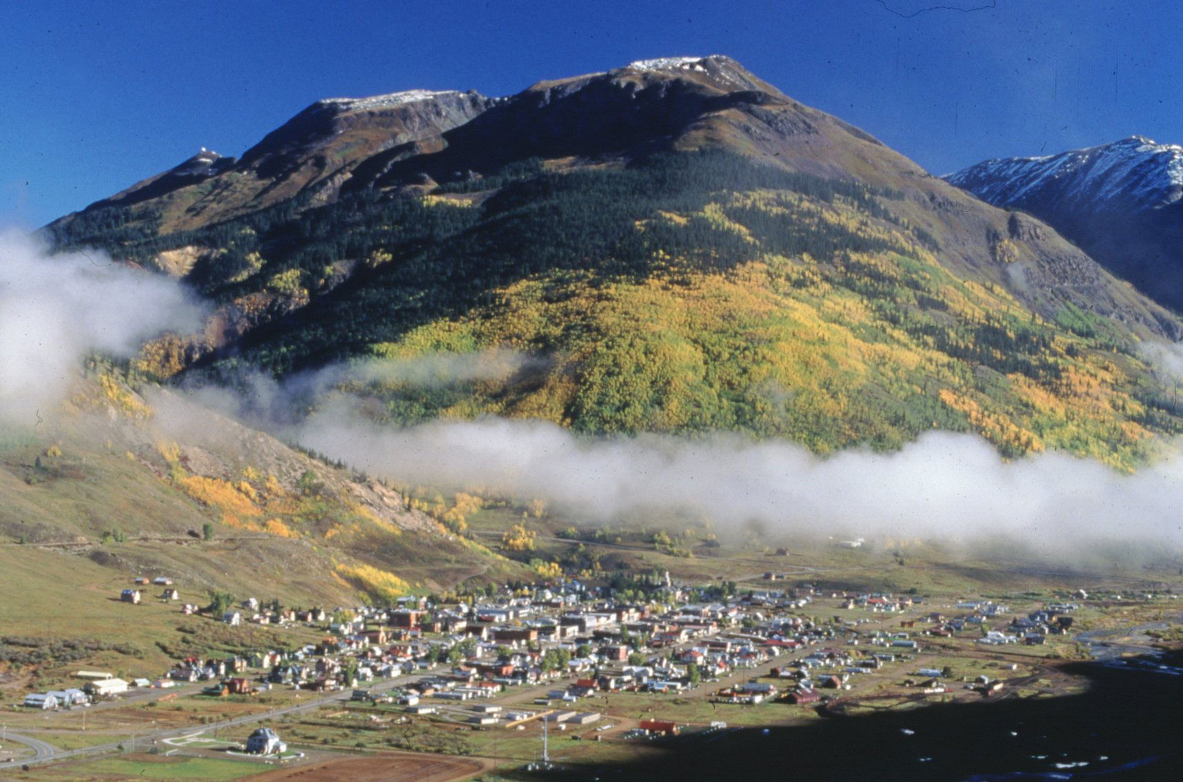
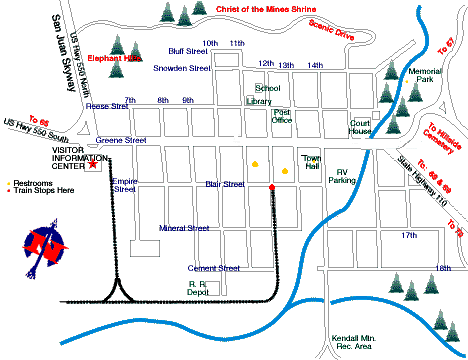
Silverton, Colorado ( 37.8119410°, -107.6645057°)
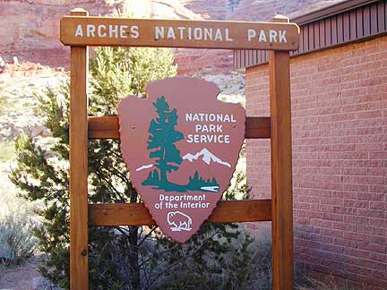
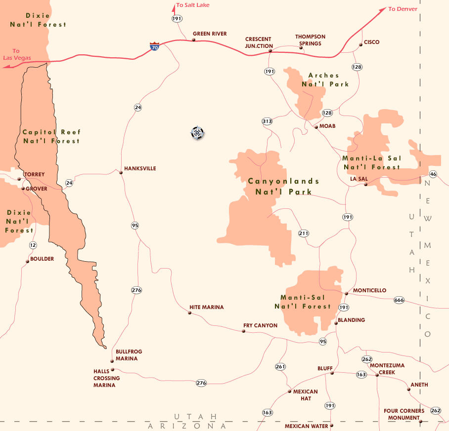
Arches NP (38.683333°, -109.566667°)
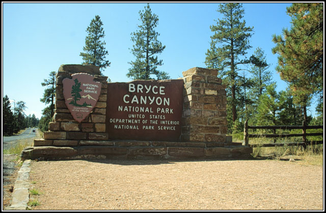
Bryce Canyon NP (37.566667°, -112.183333°)
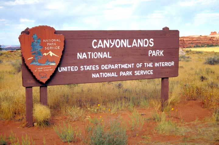
Canyonlands NP (38.2000°, -109.933333°)
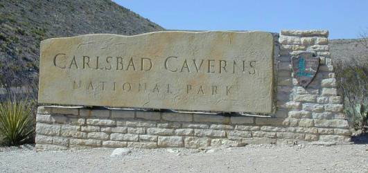
Carlsbad Caverns NP (32.175278°, -104.443889°)

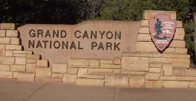
Grand Canyon NP (South Rim 36.0575°, -112.1375°; North Rim 36.19922, -112.05198)
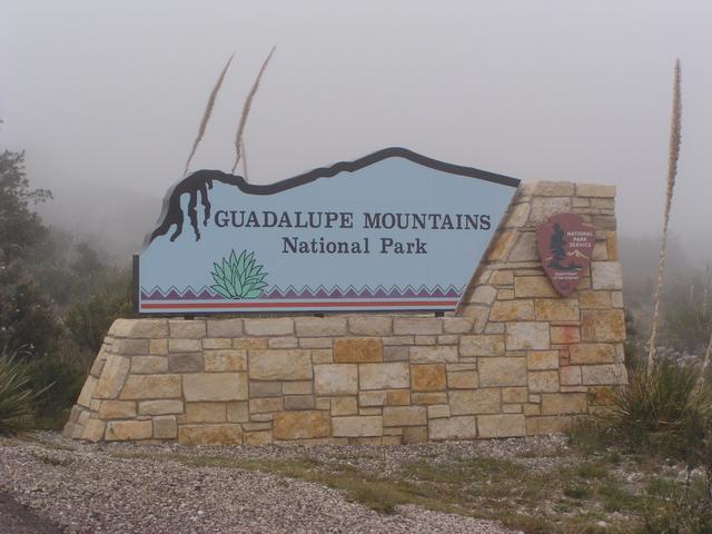
Guadalupe Mountains NP (31.916667°, -104.866667°)
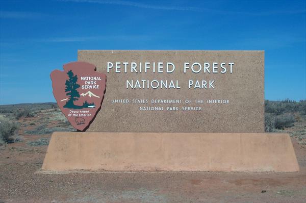
Petrified Forest NP (35.066111°, -109.780833°)
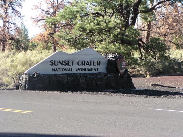
Sunset Crater NM (35.364167°, -111.503056°)
Zion NP (37.300°, -113.050°)
 Questions or comments? mailto:warburto@fau.edu
Last updated: April 10, 2012


